
Activité en Ouganda
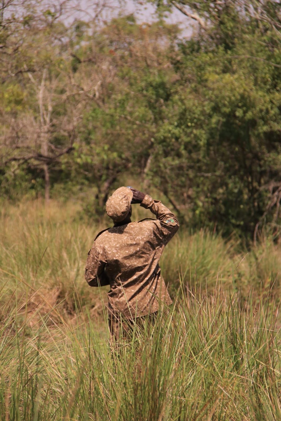
Safari à pied
Descendez du 4x4 pour explorer la brousse africaine à pied, en suivant la trace des animaux sauvages grâce à leurs empreintes et à de subtils indices laissés par la nature.
- Que se passe-t-il ?
Vous retrouvez votre garde forestier armé et votre guide expert de Huko Safaris pour un briefing sur la sécurité avant de vous enfoncer directement dans la nature sauvage. Vous suivez les sentiers empruntés par le gibier pour identifier les traces d’animaux, les excréments et une flore unique, tout en découvrant comment les populations autochtones utilisent la nature à des fins médicinales. Votre guide observe en permanence la direction du vent, ce qui vous permet d’approcher en toute sécurité de grands mammifères tels que les zèbres, les girafes ou les antilopes sans les déranger.
- Ce que l'on ressent
La barrière de sécurité d'un véhicule a disparu, remplacée par un contact brut et immédiat avec le sol. Le craquement des brindilles sous vos bottes et l'odeur de la sauge sauvage vous permettent de rester incroyablement concentré. Votre cœur bat plus fort lorsque vous réalisez que vous marchez exactement sur les mêmes sentiers que ceux empruntés par les animaux sauvages.
- À qui s'adresse-t-il ?
Convient aux voyageurs actifs, aux couples et aux amoureux de la nature ayant une condition physique moyenne, qui préfèrent vivre une expérience active et sensorielle plutôt que de rester assis dans une voiture.
- Bon à savoir
Le port de chaussures de marche robustes à bout fermé ou de chaussures de randonnée est obligatoire. Le port d’un pantalon long et de vêtements aux couleurs de la terre permet d’éviter les piqûres d’insectes et de se fondre dans le décor. Les randonnées ont généralement lieu tôt le matin, lorsqu’il fait encore frais, et durent entre deux et trois heures ; l’âge minimum requis peut aller jusqu’à quinze ans selon la réserve.
Safaris avec Safari à pied
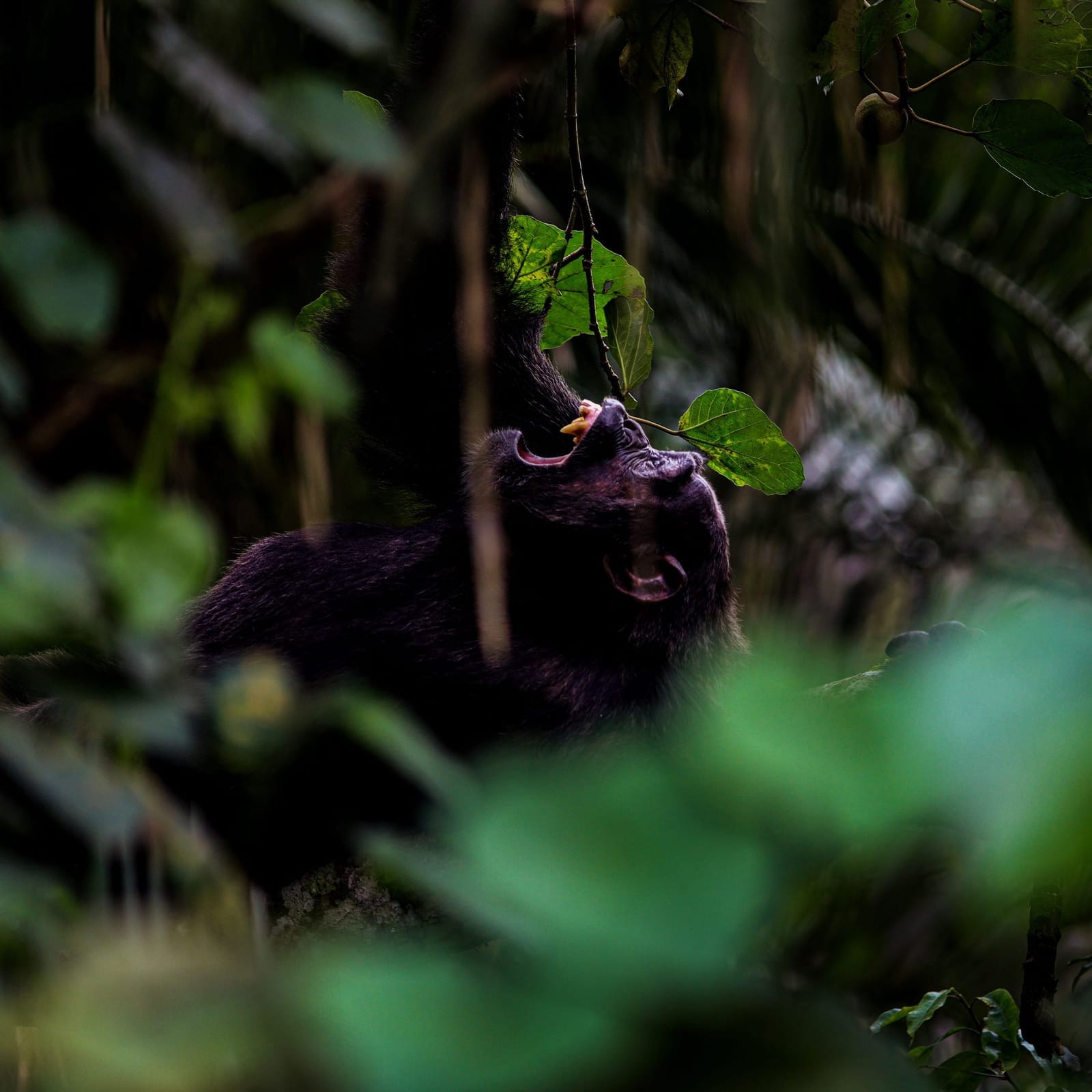
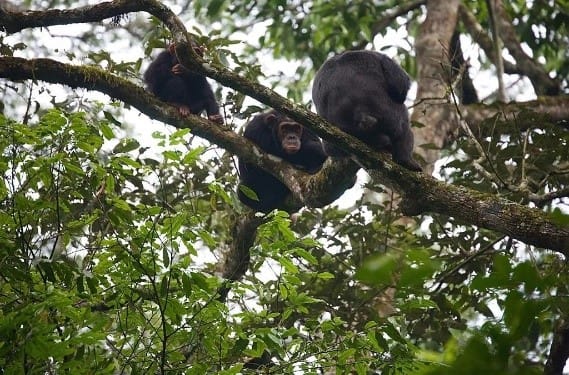
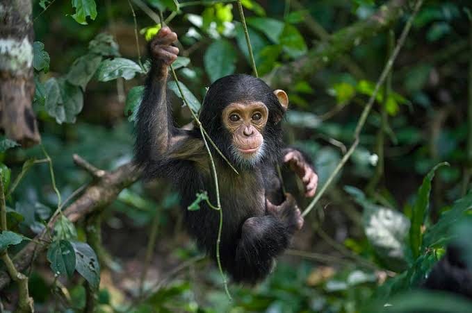
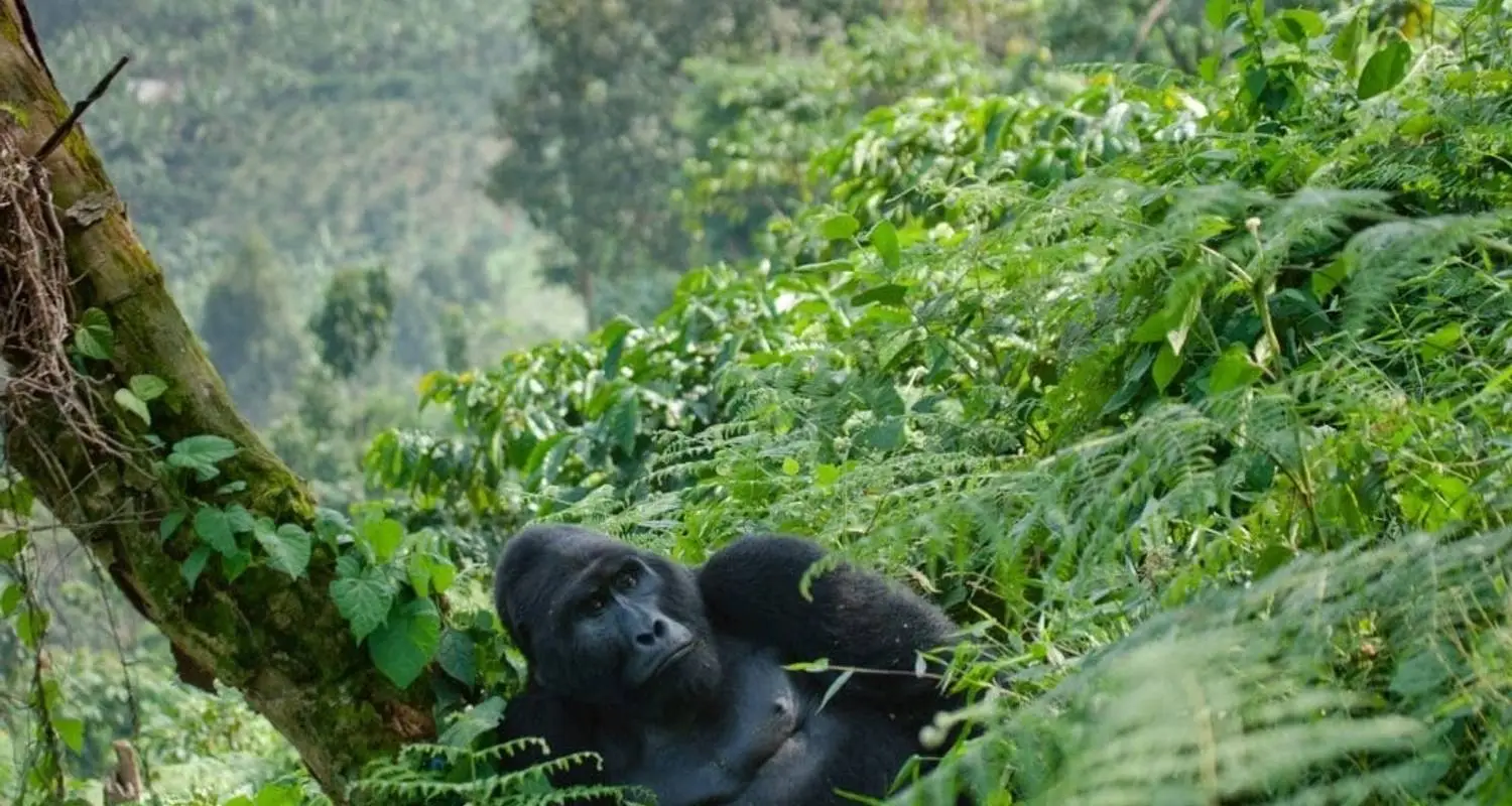
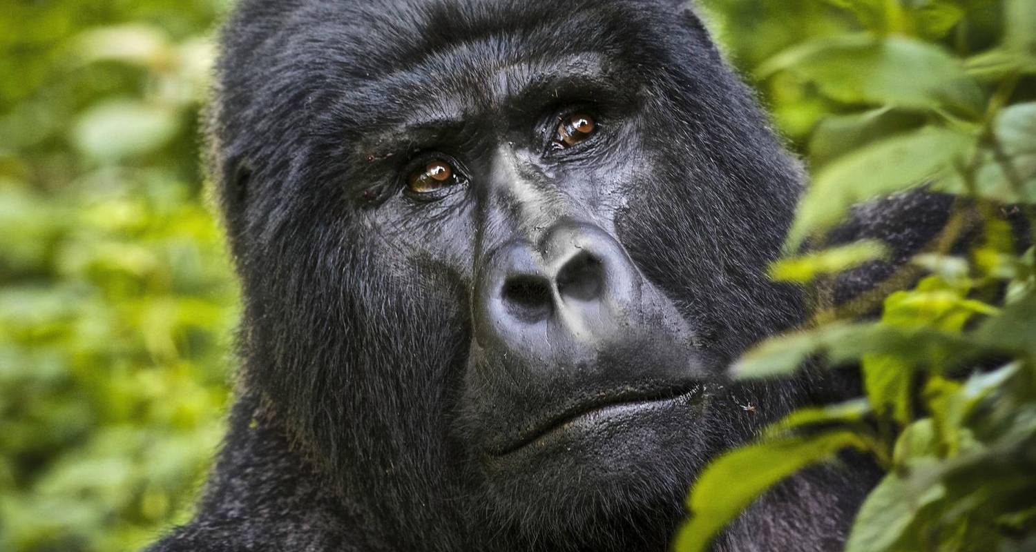
« Les primates de la Terre » (5 jours)
Ce voyage vous permettra de vivre toutes les expériences que vous souhaitez et d'apprendre tout ce que vous voulez savoir sur les primates.
4 600 € Enregistrer 5%
4 370 € par personne
Où faire Safari à pied en Ouganda
Lake Mburo National Park
If you're used to parks being big, Lake Mburo will change your perspective on a wildlife sanctuary. At just 370 square kilometers (about 1.5 times larger than Kampala capital city in surface area), Uganda’s smallest savannah park has extreme ecological density, with acacia woodland and open grassland surrounding five distinct lakes, the largest of which, Lake Mburo itself, gives the park its name and its boat safaris. The absence of elephants here allows thick acacia forests to thrive, creating a woodland dynamic that feels more like a secluded maze of greenery than an open plains wilderness. Lake Mburo National Park is not just Uganda's smallest savannah park, but it's also the closest one to Kampala, reached in roughly 3.5 to 4 hours by road, which makes it the country's go-to stop for travelers short on time or breaking up the long drive southwest to Bwindi. Because dense acacia woodlands grow unchecked here due to lack of elephants, it creates an ideal, low-competition ecosystem for Uganda’s highest concentration of leopards. The park's 1983 creation under the Obote regime weaponized conservation to evict indigenous Banyankole Bahima pastoralists, triggering a violent 1985 local uprising that completely dismantled the early park infrastructure.
Kidepo Valley National Park
Kidepo Valley National Park is Uganda’s most remote and beautiful savanna wilderness, spanning 1,442 square kilometers in the extreme northeastern Karamoja region. Bordering South Sudan and Kenya, the park features a dramatic landscape dominated by the Narus and Kidepo valleys, flanked by the soaring Mount Morungole and rugged mountain ranges. Because it is isolated, it receives a fraction of the tourists found in western Uganda, providing an exclusive, untamed safari atmosphere reminiscent of Africa fifty years ago. The park protects a diverse ecosystem of montane forests and semi-arid savanna grasslands. It is home to 86 mammal species and over 460 bird species, including many found nowhere else in the country.
Rwenzori Mountains National Park
Rwenzori Mountains National Park protects Africa's highest non-volcanic range, the 'Mountains of the Moon,' straddling the border with the Democratic Republic of Congo in western Uganda. Its highest point, Margherita Peak on Mount Stanley, reaches 5,109 meters, and the range's equatorial glaciers and afro-alpine vegetation earned it UNESCO World Heritage Site status in 1994.
Mount Elgon National Park
Mount Elgon National Park protects an extinct shield volcano straddling the Uganda-Kenya border in eastern Uganda, centered on one of the largest intact calderas in the world at roughly 8 kilometers across. The mountain's lower slopes around Sipi are also Uganda's main Arabica coffee-growing region, giving the park a hiking-and-coffee-country character distinct from the gorilla and savannah parks further west.
Semuliki National Park
Semuliki National Park sits on the floor of the Albertine Rift in far western Uganda, near the Democratic Republic of Congo border, protecting one of East Africa's few remaining pockets of lowland tropical rainforest, an extension of the Ituri Forest across the border. It is one of Uganda's premier birding destinations, with over 400 recorded species, many found nowhere else in East Africa.
Toro-Semliki Wildlife Reserve
Toro-Semliki Wildlife Reserve sits on the floor of the Albertine Rift in western Uganda, between the Rwenzori foothills and Lake Albert, directly adjacent to Semuliki National Park's rainforest. Its drier savannah and borassus palm woodland give it a genuinely different look from the forests around it, and its Semliki River frontage is one of the best places in the region to watch crocodile.
Kyambura Wildlife Reserve
Kyambura Wildlife Reserve protects the Kyambura Gorge, a steep-sided ravine of riverine forest cut into the open savannah on the eastern edge of Queen Elizabeth National Park's ecosystem. Locally nicknamed the 'Valley of Apes,' it holds one of Uganda's smaller habituated chimpanzee communities, reachable on foot from the gorge rim.
Budongo Forest Reserve
Budongo Forest Reserve is Uganda's largest surviving natural mahogany forest, bordering Murchison Falls National Park's southern boundary in Masindi District. It holds one of the country's largest wild chimpanzee populations, estimated at about 800 individuals, tracked at two main trekking sites: Busingiro and Kaniyo Pabidi. It is a premier birdwatching destination in Africa, where birders can watch rare species the yellow-footed flycatcher.
Kalinzu Forest Reserve
Kalinzu Forest Reserve sits just south of Queen Elizabeth National Park along the Kasese-Mbarara road, a mid-altitude tropical forest known for chimpanzee trekking at a noticeably lower cost than Kibale's. Its forest trails also hold eight other primate species and some of western Uganda's best accessible forest birding.
Maramagambo Forest
Maramagambo Forest sits within Queen Elizabeth National Park's southern sector, a tropical forest best known for its Bat Cave, where rock pythons wait at the cave mouth to prey on the thousands of bats roosting inside, a sight that drew international attention after being filmed for a nature documentary.
Mabira Central Forest Reserve
Mabira Central Forest Reserve is the largest surviving natural forest in central Uganda, roughly 90 minutes from Kampala along the road to Jinja. It's best known for its canopy zipline course, a rare adventure-tourism product inside a genuine rainforest, alongside its red-tailed monkeys and black-and-white colobus.
Bugoma Central Forest Reserve
Bugoma Central Forest Reserve in Hoima district protects one of Uganda's most significant remaining forest blocks outside the national park system, and one of the country's largest unprotected wild chimpanzee populations. Its future has become a genuine conservation story as agricultural development presses against the forest boundary.
Mpanga Central Forest Reserve
Mpanga Central Forest Reserve sits a short, easy drive from both Kampala and Entebbe along the Masaka road, a compact tropical forest that functions as the quickest rainforest introduction for travelers with only a brief stopover near the international airport.
Lake Bunyonyi
Lake Bunyonyi, whose name means 'place of many little birds,' is one of Africa's deepest lakes, set among terraced hills near Kabale in Uganda's far southwest. It's unusual among Uganda's lakes for being free of bilharzia and crocodiles, making it one of the only places in the country where swimming is genuinely worry-free.
Ndali-Kasenda Crater Lakes
The Ndali-Kasenda crater lakes form a dense field of volcanic lakes near Fort Portal in western Uganda, dozens of near-circular lakes filling old volcanic craters across a landscape with direct views of the Rwenzori Mountains. The area functions as a scenic, relaxed base between Kibale, Semuliki, and Fort Portal's other attractions.
Sipi Falls
Sipi Falls is a three-tiered waterfall on Mount Elgon's lower southern slopes near Kapchorwa, set in Uganda's main Arabica coffee-growing region. It's the most visited single attraction in eastern Uganda, reached by a network of day hikes linking all three tiers and the coffee farms around them.
Aruu Falls
Aruu Falls is a series of cascades on the Agago River in Pader district, northern Uganda, an emerging eco-tourism site in the Acholi sub-region that has grown steadily as the wider north has rebuilt its tourism profile over recent years.
Ssezibwa Falls
Ssezibwa Falls near Mukono, less than an hour from Kampala, is central to Buganda kingdom tradition, believed in local legend to mark the birthplace of twin rivers born from a woman named Nakku. The site remains an active spiritual and ceremonial location alongside its role as a short, scenic nature stop.
Kisizi Falls
Kisizi Falls in Rukungiri district, southwestern Uganda, is a scenic waterfall today best known for the well-regarded mission hospital built beside it, alongside a difficult pre-colonial history: in Kiga tradition, unmarried pregnant women were once thrown from the falls as a form of social punishment, a practice that ended with the arrival of missionaries in the area.
The Ik Cultural Community
The Ik people live on Mount Morungole within Kidepo Valley National Park's wider landscape, one of Uganda's smallest and most remote ethnic groups. Community-run visits, arranged carefully through Kidepo-based operators, offer a rare, respectful look at a way of life that has drawn anthropological attention for decades.
Kibiro Salt Producing Village
Kibiro is a traditional salt-producing village on the shore of Lake Albert in Hoima district, reached by a steep escarpment path, where residents still extract salt from the shoreline using methods passed down since well before colonial times reached this part of Uganda.
Bigodi Wetland Sanctuary
Bigodi Wetland Sanctuary protects the Magombe Swamp on the edge of Kibale National Park, run entirely by KAFRED, a local community organization whose guided walks fund schools and clinics in the surrounding villages. It's best known as a strong complement to Kibale's chimpanzee trekking, with eight resident primate species of its own.
Lake Mutanda
Lake Mutanda sits near Kisoro in Uganda's extreme southwest, framed by direct views of the three Virunga volcanoes, Muhabura, Sabyinyo, and Gahinga, reflected across its water. It's quieter and less developed than nearby Lake Bunyonyi, appealing to travelers who want the same volcanic scenery with fewer other visitors around.
Entebbe
Entebbe sits on a peninsula in Lake Victoria, 35 kilometers south of Kampala, and is home to Entebbe International Airport, the arrival and departure point for nearly every Uganda safari, and it is where you'll land if you're coming into the country. Most itineraries spend a first or last night here rather than pushing straight through Kampala's traffic, to allow for rest from a long flight or prepare and rest before one.
Bwindi Impenetrable National Park
Many luxury travel brochures heavily use romantic adjectives to describe Bwindi Impenetrable National Park, but its true magic lies in its geological antiquity. Unlike most African forests that changed into savannah during the last Ice Age, this wedge of the Albertine Rift remained trapped in a pocket of moisture for over twenty-five thousand years. Because this ecosystem never died back, evolution never paused, creating a primordial sanctuary where ancient volcanic ridges hold roughly half of the world's mountain gorillas alongside wild chimpanzees. It is a UNESCO World Heritage Site, and when you step into this forest, you are entering an unbroken biological time capsule that has looked exactly like this since mammoths roamed the earth. The internal geography of these 321 square kilometers creates distinctly different experiences depending on where you base your stay or trek in the four sectors of the park. The forest floor climbs and drops from 1,160 meters to over 2,600 meters above sea level, splitting the park into microclimates across four tracking sectors. The northern sector of [Buhoma](/uganda/national-parks/bwindi-impenetrable-national-park/buhoma-sector/) offers warmer temperatures and gentler valley floors ideal for a more relaxed pace, whereas the southern ridges of [Nkuringo](/uganda/national-parks/bwindi-impenetrable-national-park/nkuringo-sector/) and [Rushaga](/uganda/national-parks/bwindi-impenetrable-national-park/rushaga-sector/) present strenuous vertical challenges that reward active hikers with sweeping rift views. [Ruhija](/uganda/national-parks/bwindi-impenetrable-national-park/ruhija-sector/) sector, in the eastern part of the Park, is the highest and coldest sector, sitting at an elevation of about 2,340 to 2,500 meters above sea level. This makes it arguably the most topographically beautiful region for visitors. When you come to trek, we pair you with the specific trailhead that matches your personal physical comfort, ensuring your encounter with the gorillas is exhilarating rather than exhausting. One thing that surprises many of our guests is the complete absence of a buffer zone around the park perimeter. The canopy ends on a definitive, sharp line, met by the cultivated, terraced tea estates of the local communities. From the terrace of your luxury lodge, your view gives you a depth of context that standard wildlife viewing simply cannot match.